(Alma Hasse photo)
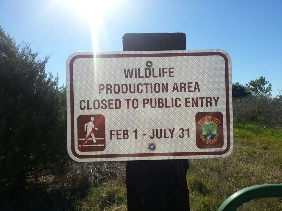
The Idaho Department of Lands may permit Alta Mesa Services to directionally drill the Smoke Ranch gas well near (and under?) these Payette River Wildlife Management Area lands that the Idaho Department of Fish and Game also leased for drilling, while excluding less toxic and disruptive public recreation that could disturb breeding and nesting resident and migratory birds.

(Alma Hasse photo)
A leaking, liquid-bearing vehicle parks on the dirt road paralleling Highway 52 to the Smoke Ranch well pad that was recently covered with standing water before drilling and that could later mix drilling mud chemicals with the area’s surrounding wetlands, creeks, and rivers.
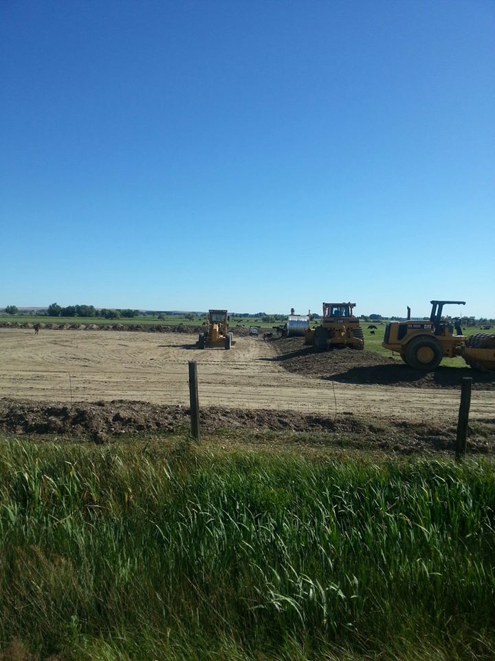
(Alma Hasse photo)
At the nearby wildlife management area, a Payette County Sheriff deputy said that this Smoke Ranch well pad was flooded during the Stop the Frack Attack, Idaho! week of protests. Notice in the picture the generator next to a freshly dug hole, which appears to pump groundwater (and later toxic chemicals?) from under this pad in a floodplain.

Pingback: Stop the Frack Attack, Idaho! Month of Action | Wild Idaho Rising Tide